
Technology is what drives all aspects of today’s market, including Real Estate.
In the old days, real estate agents had large books to look at what properties were available. They included a description and a few pictures. Today, with internet access, people can now mass market their properties in literally minutes. Technology continues to change along with people’s desire to have more and more information. Obviously, photography is key in today’s market to help people narrow down which properties they want to see and with the introduction of drones, that bring people so much closer to what is on and near that property.

Drone Footage on West Main Street, Mesa
Today’s drones have multiple uses.
From aerial photography to inspection photography. By using a drone, you can get pictures of the whole property or from various other perspectives you cannot normally get with standard photography. You can also get a better understanding of the property’s surroundings. For example, how close you are to a lake, or park, a golf course, or even a shopping center. You can also use the drone to inspect the roof, multi story walls, HVACs, railings, etc. On higher end properties, or properties with larger lots, you give the buyer a perspective they might never see. Again, the more information, pictures, and perspectives you can give to the client, the better chance that client has to appreciate that property and what it has to offer. In closing, I would recommend using a drone pilot to address your aerial photography needs.
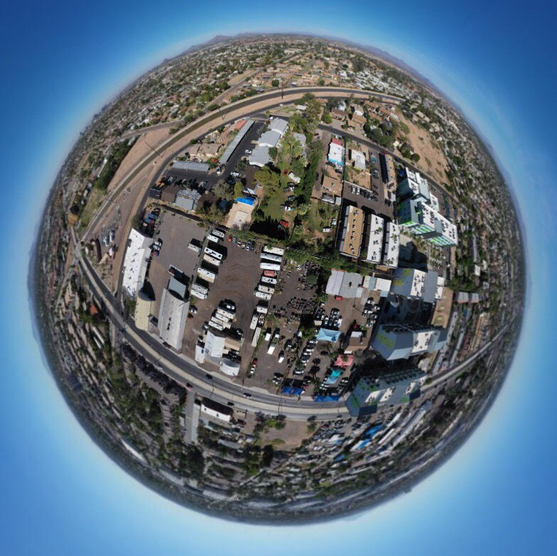
Fisheye View on West Main St, Mesa
Gary Tindle is a successful Commercial Real Estate broker in the Phoenix Metro area. He uses drone imagery for all the reasons he recommends to others. You can contact him at 480.332.7970 or gary@LRAphx.com